
Proudly Serving the Hulet and Devils Tower Community
Proudly Serving the Hulet and Devils Tower Community
County slips further into drought conditions
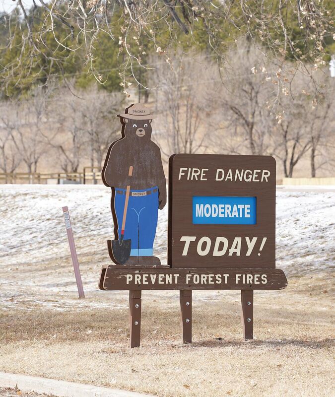
With little snow on the ground, fire appears more likely than flooding as we head towards spring.
There's not much chance of flooding this spring, according to the National Weather Service (NWS). The county continues to slide into drought conditions after a winter that brought little snow.
The flood outlook summary for this spring is below average across all of northeastern Wyoming and western South Dakota.
This is the time of year for ice cover on streams, rivers and lakes to melt and for ice-jam flooding to potentially occur. Flooding from snowmelt on the plains typically takes place between March and May, but a little later from the Black Hills.
While the flood potential for this year does depend on weather conditions this spring, temperatures have been warm and above average for most of the winter. Gillette has experienced the sixth warmest winter on record with an average of 29.9 degrees, while Rapid City saw the seventh warmest with an average of 31.7 degrees.
Precipitation has also been slightly below average since December, according to NWS. Most snow cover across the area is from the end of February with snow water equivalent about half of average for this time of year.
Over the month of February, much of Crook County saw at least three quarters of an inch less snow than average.
Snow course readings across the Black Hills area are significantly lower than average at this time. According to the latest data, released on March 1, neither Little Bear Run nor Reuter Canyon have any snow at all and Bear Lodge Divide has just 5% of the 30-year average snow water equivalent with half an inch of snow depth.
Even the courses with the most snow are at around three quarters of the average amount. North Rapid Creek snotel station has 16 inches, which is 78% of the 30-year average for snow water equivalent, and Ditch Creek has 74% of average at 11.1 inches.
The only frost remaining in the ground is over northwestern South Dakota and higher elevations of the Black Hills, where frost depths are mostly less than a foot.
Based on current conditions, NWS predicts that there is less than a 5% chance of major flooding of the Belle Fourche River at the state line and a 14% chance of minor flooding.
Crook County has slipped further into drought conditions, with the entire county now in at least moderate drought and almost a quarter – located to the west – listed as experiencing severe drought. The National Integrated Drought Information System expects these conditions to persist for at least the next three months, with lower-than-average precipitation across the whole county.